The Role of Maps in Military Strategy
A Critical Component of Modern Warfare
Maps have been an essential component of military strategy for centuries, providing a visual representation of the battlefield and enabling commanders to make informed decisions. From ancient civilizations to modern-day militaries, maps have played a crucial role in the planning, execution, and outcome of conflicts. In this article, we will explore the significance of maps in military strategy, their evolution over time, and their continued importance in modern warfare.
A Brief History of Military Mapping
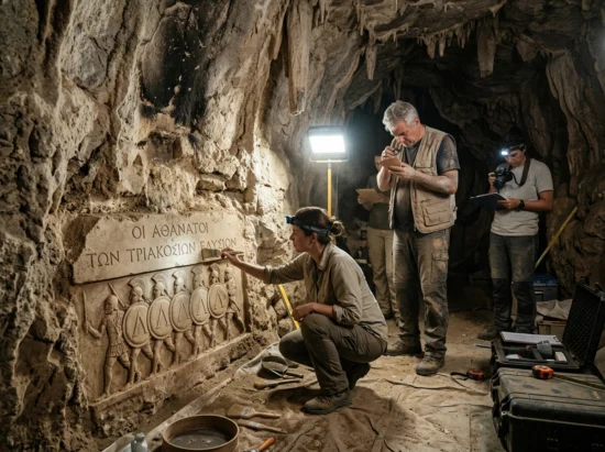
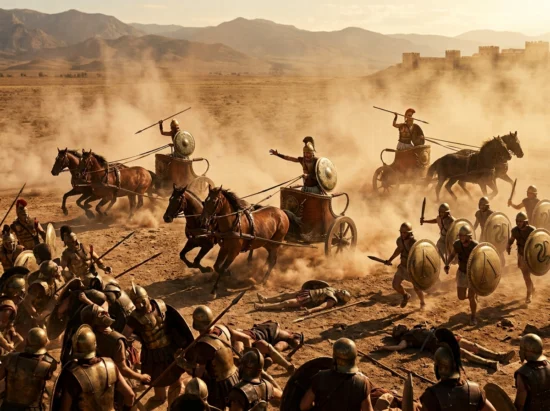
The use of maps in military strategy dates back to ancient times, with early civilizations using crude drawings to represent their territories and enemy positions. As warfare became more complex, so did the use of maps, with the ancient Greeks and Romans employing detailed cartography to plan their campaigns. The invention of the printing press in the 15th century enabled mass production of maps, making them more accessible to military commanders.
During the 18th and 19th centuries, the Napoleonic Wars and the American Civil War saw the widespread use of maps in military strategy. Cartographers and topographers played a crucial role in creating detailed maps of the battlefield, which helped commanders to make informed decisions about troop deployments and tactical maneuvers.
The Role of Maps in Modern Warfare
In modern warfare, maps continue to play a critical role in military strategy. Today’s militaries employ advanced technologies, such as satellite imaging, GPS, and computer-aided design (CAD) software, to create highly accurate and detailed maps of the battlefield. These maps are used to plan and execute complex military operations, including airborne assaults, amphibious landings, and urban warfare.
Maps also play a significant role in military planning, enabling commanders to visualize the battlefield and anticipate potential enemy movements. By analyzing terrain, enemy positions, and logistical supply lines, military commanders can make informed decisions about troop deployments, resource allocation, and tactical maneuvers.
The Importance of Cartography in Military Planning
Cartography, or the art of map-making, is a critical component of military planning. Cartographers use a range of techniques, including aerial photography, satellite imaging, and ground surveys, to create highly accurate and detailed maps of the battlefield. These maps are then used by military commanders to plan and execute complex military operations.
In addition to their practical applications, maps also play a significant role in military planning by enabling commanders to visualize the battlefield and anticipate potential enemy movements. By analyzing terrain, enemy positions, and logistical supply lines, military commanders can make informed decisions about troop deployments, resource allocation, and tactical maneuvers.
The Use of Maps in Tactical Planning
Maps are also used in tactical planning, enabling military commanders to make informed decisions about troop deployments, resource allocation, and tactical maneuvers. By analyzing terrain, enemy positions, and logistical supply lines, military commanders can anticipate potential enemy movements and develop effective countermeasures.
In addition to their practical applications, maps also play a significant role in tactical planning by enabling military commanders to visualize the battlefield and anticipate potential enemy movements. By analyzing terrain, enemy positions, and logistical supply lines, military commanders can make informed decisions about troop deployments, resource allocation, and tactical maneuvers.
The Impact of Technology on Military Mapping
The advent of advanced technologies, such as satellite imaging and computer-aided design (CAD) software, has revolutionized the use of maps in military strategy. These technologies enable military commanders to create highly accurate and detailed maps of the battlefield, which are then used to plan and execute complex military operations.
In addition to their practical applications, these technologies also play a significant role in military planning by enabling commanders to visualize the battlefield and anticipate potential enemy movements. By analyzing terrain, enemy positions, and logistical supply lines, military commanders can make informed decisions about troop deployments, resource allocation, and tactical maneuvers.
The Future of Military Mapping
As military technology continues to evolve, it is likely that maps will play an even more critical role in military strategy. The increasing use of unmanned aerial vehicles (UAVs) and other advanced technologies will enable military commanders to create highly accurate and detailed maps of the battlefield, which will be used to plan and execute complex military operations.
In addition to their practical applications, maps will also continue to play a significant role in military planning by enabling commanders to visualize the battlefield and anticipate potential enemy movements. By analyzing terrain, enemy positions, and logistical supply lines, military commanders will be able to make informed decisions about troop deployments, resource allocation, and tactical maneuvers.
Conclusion
Maps have been an essential component of military strategy for centuries, providing a visual representation of the battlefield and enabling commanders to make informed decisions. From ancient civilizations to modern-day militaries, maps have played a crucial role in the planning, execution, and outcome of conflicts.
As military technology continues to evolve, it is likely that maps will play an even more critical role in military strategy. The increasing use of advanced technologies, such as satellite imaging and computer-aided design (CAD) software, will enable military commanders to create highly accurate and detailed maps of the battlefield, which will be used to plan and execute complex military operations.
FAQs
Q: What is the significance of maps in military strategy?
Maps have been an essential component of military strategy for centuries, providing a visual representation of the battlefield and enabling commanders to make informed decisions.
Q: How have maps evolved over time?
Maps have evolved significantly over time, with the advent of advanced technologies, such as satellite imaging and computer-aided design (CAD) software, enabling military commanders to create highly accurate and detailed maps of the battlefield.
Q: What role do maps play in modern warfare?
Maps continue to play a critical role in modern warfare, enabling military commanders to plan and execute complex military operations, including airborne assaults, amphibious landings, and urban warfare.
Q: How do maps impact military planning?
Maps have a significant impact on military planning, enabling commanders to visualize the battlefield and anticipate potential enemy movements, which helps them to make informed decisions about troop deployments, resource allocation, and tactical maneuvers.
Q: What is the future of military mapping?
The future of military mapping is likely to be shaped by the increasing use of advanced technologies, such as satellite imaging and computer-aided design (CAD) software, which will enable military commanders to create highly accurate and detailed maps of the battlefield.